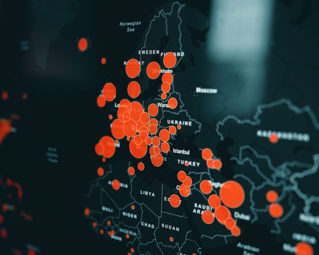
To control and monitor a pandemic, it is important to understand how it spreads across an area. With the help of AI, governments, organisations and individuals can build detailed population density maps and hence give estimates on the number of people living in grid tiles.
Facebook takes population maps one step further and suggests that it is able to use AI to better determine how to handle outbreaks or distribute supplies. These maps can provide insights on where people live and move and whether they are connected. The movement maps meanwhile tap into aggregated, de-identified data from people to develop mobility patterns. Health organisations partnering up with Facebook receive insights as to where outbreaks may occur as well as the potential spread of disease so they can prepare accordingly.
To determine areas in which people are concentrated and to coordinate health information campaigns, the American Red Cross already uses population maps.
Find out more following this link.


